
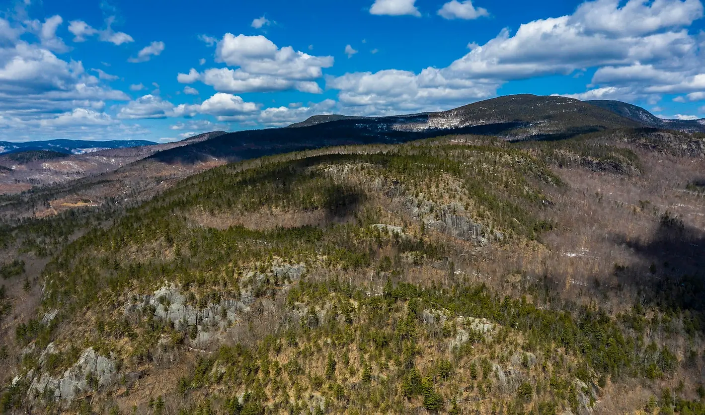

The Property
When Mahoosuc Land Trust and local conservation partners saw the chance to work with The Conservation Fund to try to conserve over 15,000 acres of forestland, the 978-acre Tumbledown Dick Mountain parcel jumped out at MLT. Nowhere in the Chadbourne family’s meticulously managed working forest was there such a rich overlap of features.


A Collaborative Effort
By working with regional and national partners, MLT has a chance to conserve an important tract in the Western Maine Mountains - the largest unfragmented forested area in the eastern U.S. and the nation’s largest globally important bird area. In June of 2020, The Conservation Fund (TCF) was able to purchase the 15,000-acre Chadbourne Tree Farm. TCF will manage the lands on an interim basis providing time for the national nonprofit and its major partners - Mahoosuc Land Trust, Mahoosuc Pathways, Western Foothills Land Trust and the U.S. Forest Service - to raise the needed funding. MLT is partnering with other key organizations such as Access Fund, which is supporting outreach, stewardship and fundraising for the rock climbing venues on the property through its Climbing Conservation grant program.
"The potential for trails to beautiful views, along a burbling stream running through a healthy forest with some large trees, is enough to quicken your heart. After a fairly gentle climb along an old logging road we found ourselves in a large grassy area, which if cleared a bit would offer spectacular views of the Presidentials and surrounding area."
—Lida Iles, MLT member


Property Highlights
-
Awe-inspiring views that include the Presidential Range and the property’s mile of riverfront along the Androscoggin River
-
Cliff face is an area favorite with rock climbers
-
Picturesque waterfalls
-
Great potential for future hiking trails
-
Provides habitat for wildlife and plants for generations
-
Links thousands of acres of already conserved lands in the Mahoosuc Range and the White Mountain National Forest
-
Well-maintained and connected snowmobile trail

